Seismic Acquisition and Processing in the SCOOP Play, OK
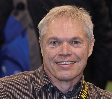
Chuck Diggins
DownUnder Geosolutions (DUG)

The SCOOP Play (South Central Oklahoma Oil Province) is an oil and liquids-rich province with one of the thickest, highest quality shale resource reservoirs in the United States.The play covers Stephens, Carter, Grady, and Garvin Counties which are considered to be the top oil producing counties in Oklahoma with 3.2 BBo produced, and comprising 60 reservoirs.These primary targets include the Springer, Hoxbar, Caney formations; while the Woodford is the most drilled strata historically.
In 2016 Silverthorne Seismic, LLC completed a wide azimuth, high resolution 3D survey over the southern end of the SCOOP where the Ardmore, and Anadarko basins meet. Expected dips were ranged from 70 – 90+ degrees, with some beds being overturned.
The survey was acquired by Dawson Geophysical utilizing the GSR system.Given the structural complexity of the southern end of the SCOOP play, it was decided that a 55 foot bin spacing would be used, in addition to a 30 line recording patch comprising 360 stations per line.When all available stations were utilized, the patch would give us approximately 40,000 feet of offset.
Given the history of oil and gas production in this area, there a substantial amount of infrastructure to navigate through; particularly in the Velma and Sho-Vel-Tum oil fields.This required reducing buffers from IAGC standards. Utilizing active PPV Vibration Monitoring (PPV), vibrator trucks were able to get within 150 feet in some cases. PPV testing showed that 45 feet was the closest proximity to any pipeline or well-head however, no source point was placed closer than 125 feet.Due to these buffers, there were areas where signal to noise dropped due to lack of near offsets.
The wide azimuth data acquired using modern acquisition parameters was then processed and imaged to form a high-fidelity image of the subsurface. Key aspects of the time processing sequence included the derivation of an appropriate refraction statics solution, tailored amplitude-friendly noise attenuation and high-fidelity interpolation. Multiple noise attenuation algorithms were applied in different domains with a strong focus on signal protection and bandwidth preservation. Careful quality control was required to design the appropriate sequence, significantly improving the signal-to-noise ratio while preserving the very steep dips present in the area (see figure 1). After deconvolution, this leads to a broader reliable bandwidth, key to producing a high-resolution image of the subsurface. The interpolation step then further improved the data by compensating for the acquisition coverage irregularities, especially in the shallow subsurface.
The velocity model building strategy relied on integrating all available information to form a geologically and geophysically consistent model. The tomographic refraction statics solution was utilized to form the shallow section of model. The well data were also integrated to ensure a good fit between the seismic velocities and the well velocities and help derive the anisotropy field. Several passes of highresolution anisotropic reflection tomography were then performed to update the model. The careful integration of these techniques leads to a geologically consistent model, flat gathers and an excellent match between well and seismic data. The final image obtained using pre-stack Kirchhoff depth migration (see figure 2) showed significant uplift when compared to legacy datasets.
Careful quality control during the time processing and a geologically and geophysically consistent model building approach are key to leverage the benefits of modern land seismic acquisition and generate an enhanced, highresolution, image of the subsurface for interpretation.
Biography
Chuck Diggins began his career as Research Geophysicist with Western Geophysical in 1978. Since then he has focused on development, training and services associated with reflection and refraction statics software at companies such as Green Mountain, Maverick, Renegade and XtremeGeo.
Chuck has taught classes in 30 countries, consulted on statics issues worldwide, and provided statics services for both oil and geophysical companies. He has also chaired several SEG technical sessions and workshops.
Chuck recently served as Center Manager for Sterling Seismic Services’ Houston office. In 2015, Chuck and Yvonne Diggins created Statics Rocks, LLC, dedicated to all things statics: services, consulting, teaching, programming, etc.
In 2017, Chuck joined DownUnder Geosolutions (DUG) as Principal Geophysicist. Chuck lives in Louisville, Colorado and enjoys biking and photography.